They don't call it Hill Country for nothing.
On the way to Blanco Friday afternoon, we came in on the road to be used for the ride's return route. I wanted to take a picture of an example of some of the hills.
As I found out the next day, the return route was the tame part of the ride. My Garmin showed ten 5% hills, three hills over 10%, and an uncountable number of 2-3-4%. And that was the first 13 miles of the ride to the first rest stop!!
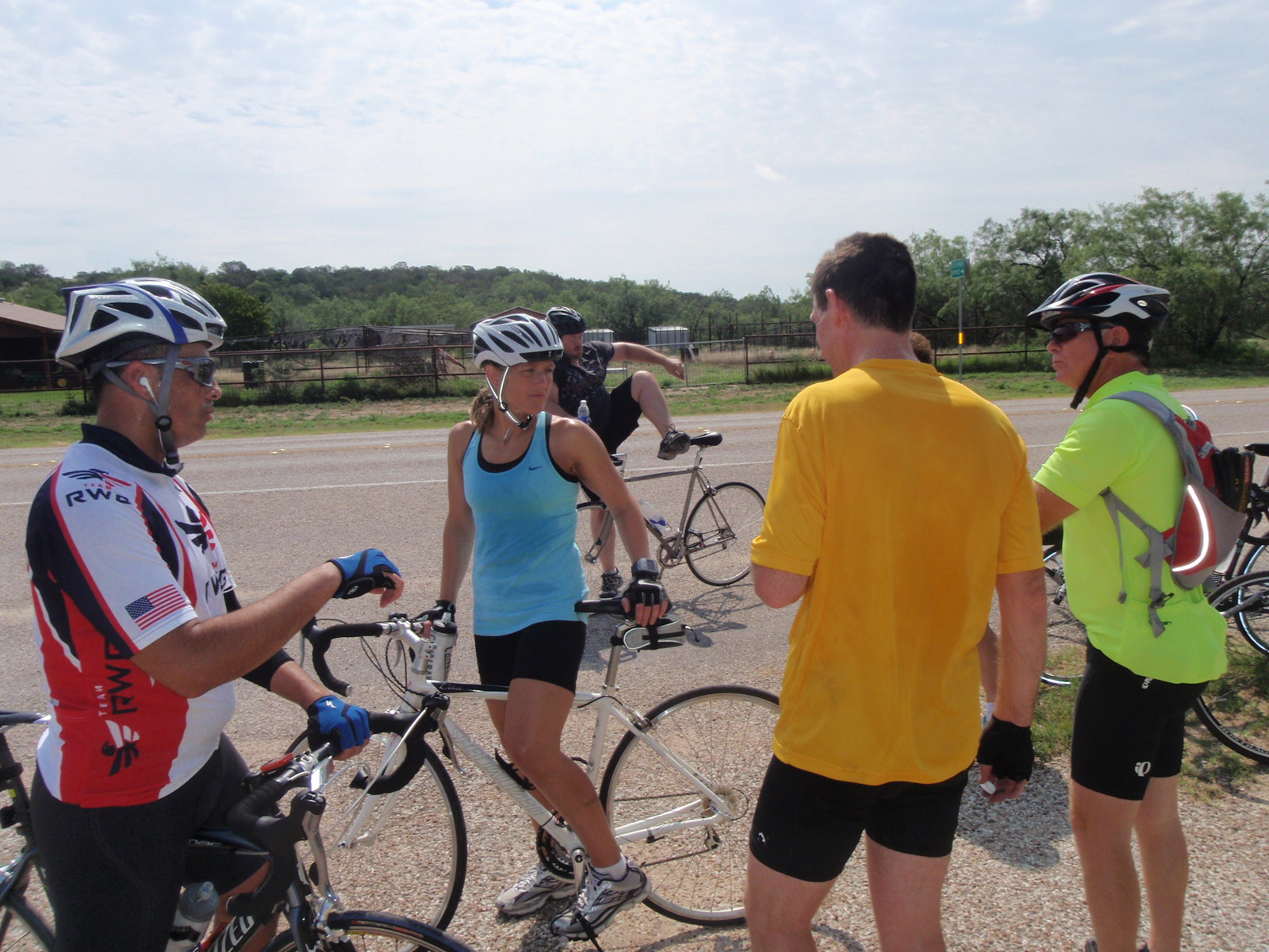
Saturday morning right before the starting line up was the preparatory line up. But there were enough facilities to allow us to get to the start line in plenty of time.
There were over 1,300 riders that signed up. Everyone in front of the two orange flags were the 85 mile riders. The riders off-to-the-side were also 85'ers who just merged upon the kick off. I was back with the 65 milers and Christine was going to do a modest 50 miles.
Someone in the line up behind me, and who had ridden the ride before, remarked that the first two miles were the easiest of the ride. He was right.
Almost immediately after two miles we started into the "gnat" hills. Gnat hills are small, less than 5%, that just worry you and wear you down.
Some were larger than gnats, if one squints his eyes, one can see that the road leads up the hill into the clouds.
...and on and on...
Finally a downhill--not much--but enough to stop pedaling for a while.
Not sure if this hill was another of our 10+% ones, but they were there somewhere.
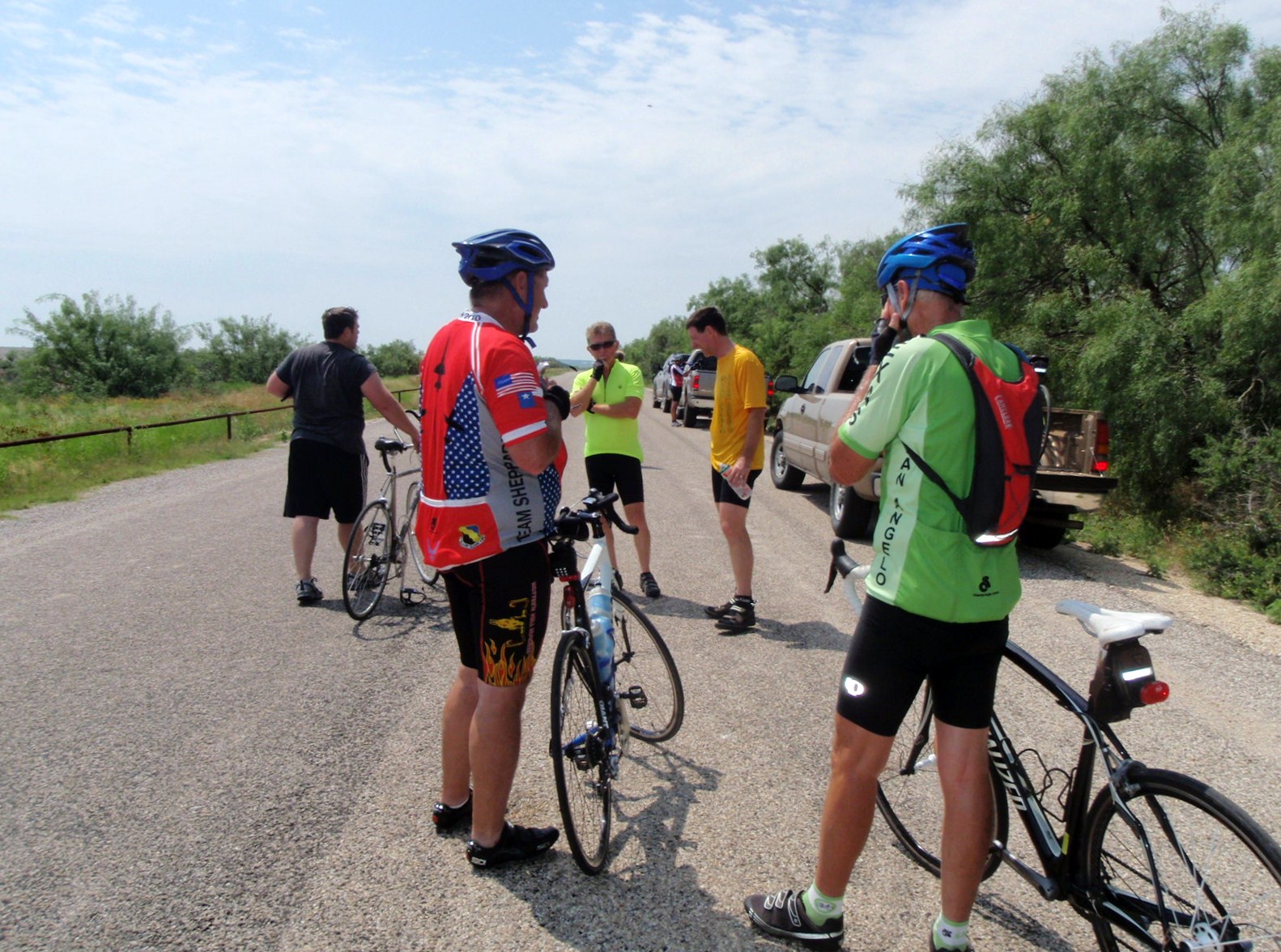
A few miles back down the road, I thought that rest stop 3 should be coming up soon--at least it felt like it should. But this was rest stop 1 at mile 13. Again, if one squints, the long line was not for the food or drink. I took the picture, hopped back on the bike and left. I didn't want to spend 30 precious minutes in line.
I don't remember any flat stretches but here is a picture, so there was one.
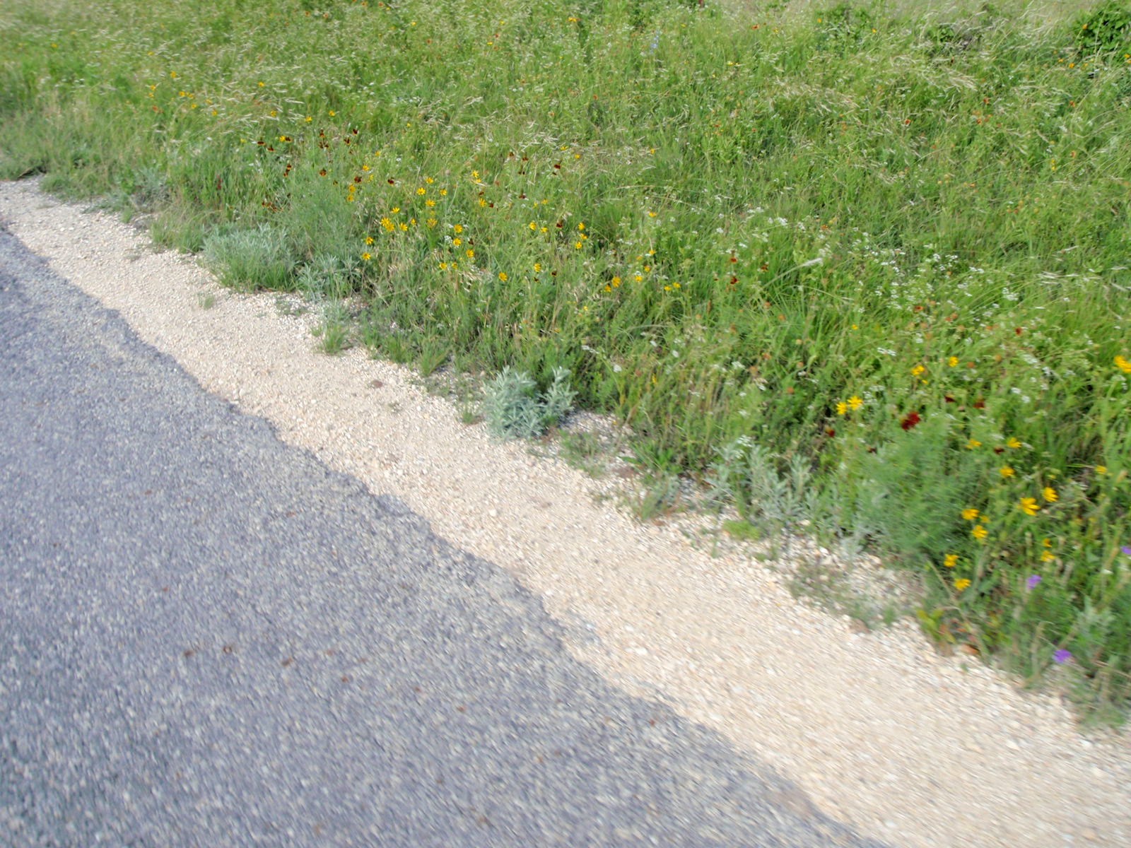
Our wildflowers are starting to thin out, but what is interesting if one looks closely, the grass is bent over from the wind. I have been so busy whining about the hills I forgot to mention the 16 mile an hour wind in our face.
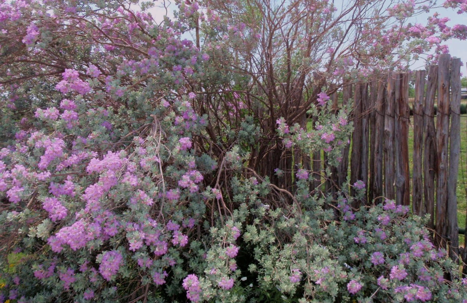
Hill country beauty took some of the sting of the ride out. The clear spring water was awfully tempting as the temperature was starting to warm up. The indentations on the right looked like a giant's footprint.
Refreshing after last year's drought.
Another "good" hill coming up.
About mile 18, I noticed that my left shoe was feeling funny. Then as I pulled up on an upstroke, my foot came off the pedal and I heard a clink. I had lost my cleat. I back tracked and found the main part of the cleat and one screw. I put it back onto the shoe but discovered it would not clip in as the little metal part on the top was missing. I was down to 1 1/2 leg power. And how many miles of hills--and wind--to go? Let's see, 18 from 65 is--no way. I called Christine and told her I was joining her on the 50 mile route and that I would just wait for her at the next rest stop.
Buzzards, leave me alone. I was down but not out. I could still limp my way back to the finish line.
From this angle, the hill does not look like much. However, the first person in the picture is pushing the bike at the 6% marker. The second person pushing is at the 11% grade. I was looking forward to the downhill but it was one of those small dips and then--"Oh heck!" There were people pushing bikes all over the hill. A person beside me stopped about 3/4 up the hill and remarked, "Maybe an hour and a half ago, but not now." I glanced down at my Garmin and said, "It is registering 16%." About then the incline increased again and I just held on for dear life. I dared not glance down again as it was taking all of my concentration to keep pedaling. And remember--I had only one clip. My left leg could only push.
After I downloaded the Real Ale ride, the Garmin showed that the hill hit 17%. Now I know how Rick, Brian, Marlon, and others from San Angelo felt as they raced up the Davis Mountains' Mount Locke race at 17% grade. If my 17% were another 20 yards, my story would have been a little different from "I made it!!"
The redeeming part of the hill for Christine was the downhill after the crest. She hit over 47 mph.
Me? I was hitting my brakes so hard that I was almost doing reverse wheelies. I kept my speed down to 37 mph.
Finally we turned onto the last leg which contained the "gentle" rolling hills that we took the picture of the previous day.
The hill country did have nice scenery.
Last hill. At the top of the picture we turned right to go to the Real Ale Brewery where the ride originated. Once again, it doesn't look like much, but it turned out to be a 5% grade.
Christine crosses the finish line.
Think the smile is because she finished?
Nope, they had BBQ sandwiches and
REAL ALE BEER!!
If anyone is looking for a tough ride, beautiful scenery, good food, and excellent beer (so Christine said), the Real Ale Ride is for you.