Wednesday, April 15, 2020

Door Key Road

Door Key Road
February, 2020
San Angelo, Texas
Well, the organized tours for this season continue to be either cancelled or postponed. The next scheduled tour, Tour de Agua, is slated for June 13 but the organizers have posted that they will make the decision to cancel or not in May. 
Meantime, we have been trying to get out when the weather cooperates as much as we can.  The last part of February, we had cloudy skies but a high temperature of 75 so we chose one of our favorite rides--Door Key Road.
Door Key is just a few miles out of San Angelo and a good ride to try to keep in shape. 
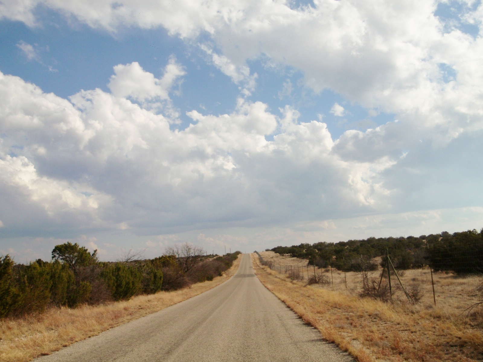
The ride is a 14 mile stretch of rolling hills ranging from 3-6% grade.
Round trip is a little over 29 miles with an 892 foot elevation gain.
The Door Key Ranch originally comprised 90,000 acres.
It is rumored that outlaws such as Jesse James would take refuge in the large ranch, however, Wikipedia could not verify this.
So we can fantasize about outlaws hiding in the bushes--and occasional stands of trees--while riding in this isolated place.

Just down the road from the Door Key gate is the Pecan Creek Ranch. Pecan Creek was part of the original Door Key Ranch and consisted of 47,000 acres. Note the high fences as hunting is a part of the commercial enterprise.
Rollers coming up.


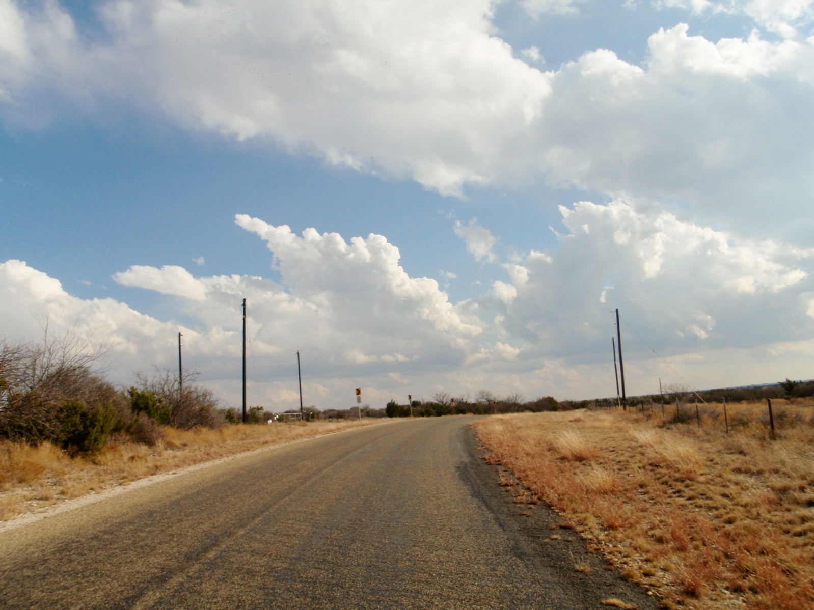
While not threatening, I was intrigued by the clouds this day.


Nearing the turn around point, I glanced down and saw that I had a healthy speed going. Spoiler alert: at the end Christine and I had just over an 18 mph average. Got to get out more often.

Turn around point. "All down hill from here".
And wind at our back. Didn't turn out but just to the left of the fire break at the top is a nice looking ranch house with a commanding view.
Just over the crest there is a long downhill that keeps the fun in the ride.


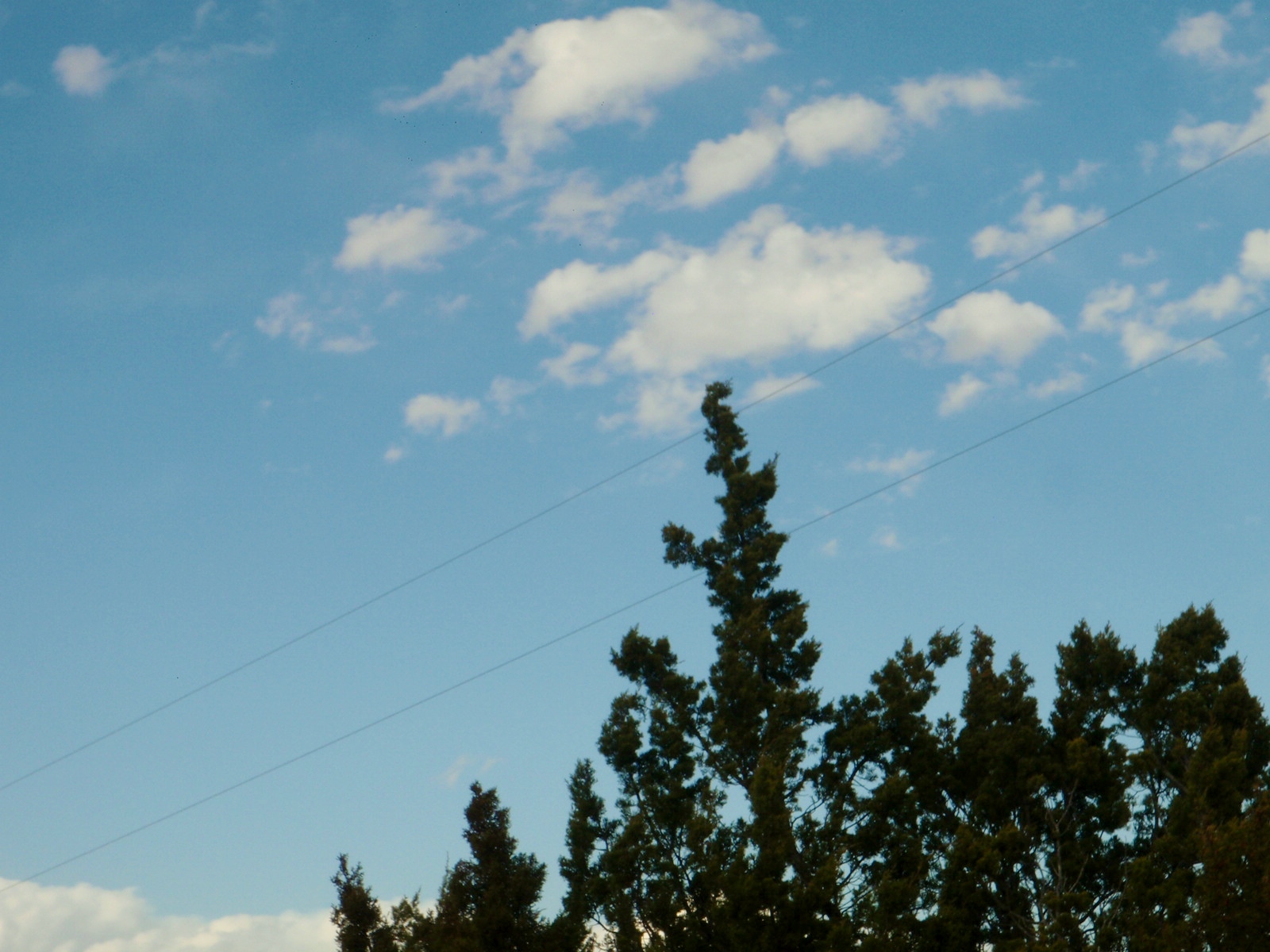
Oops. Temporarily ran out of clouds.

See the wire that starts slanting down?

The wire has been like this for several years and not been repaired.
Must not interfere with any service, so at the present it just presents another mystery to ponder.


Passing Pecan Creek Ranch again so within 6 or so miles from the finish line.

Soon things will start greening up.


Sheep, goats, cows, and feral hogs country. OK. Sometimes deer and rattlesnakes will present themselves, but not in vast quantities.
Final stretch of the ride.


Final intersection alert. Ride over.
Time to rest up for the next pretty day.

Wednesday, April 1, 2020

Mt. Nebo

Mt. Nebo
January 2020
Grape Creek, Texas
On a nice January day, Christine and I decided to get out and try to keep in shape for the upcoming cycling season. Little did we know that the organized tours we had signed up for would be postponed or cancelled. So I am glad I brought my camera with me on this ride. It seems that all we will be doing is local rides, unless we are ordered to shelter in place. 
By mid-afternoon, the temperature was reasonable--for us. We started from the Grape Creek Baptist Church in a little community just outside of San Angelo. 
 Christine jumps out ahead at the start. I used to call this being dropped, but now I call it social distancing.


 Christine "allowed" me to catch up as she was rubber-necking. Not much to see yet. 
 However, we would settle for any scenery as we only biked twice in November and once in December. 
 As we had "cabin fever," we would accept even a straight level road with little greenery. 
 Pretending to go down a steep hill.
 Pretending to go up a steep hill. 
 
 Cattle guard. I was once asked by a person living in the northeast what a cattle guard was. The "bridge" of spaced, parallel pipes will not be traversed by cattle, thus a gate is not needed. The Fort Davis ride has about 19 cattle guards as the road cuts through ranches and allows free flow of traffic.
 In the country, find something green, take a picture. In your yard, pull it.
 Mt. Nebo peeps over the horizon on the right. The Mt. Nebo ride has two loops-one 18 miles and the other 10 miles. We were on the 18 mile route, so Nebo was on the right side of the road.
 We have yet to get into the roller portion of the ride.

 Finally we get to some rollers. Not tough but they break up the level roads.
 This one is the fun incline as it is long and steady. The incline continues beyond the curve in the distance.
 The down side. Generally the wind is to one's back on this stretch so the combination of decline and wind greatly assists in increasing the average mph of the ride. 
 We are now on the short 10 mile loop and Mt. Nebo can be seen in the distance on the left side of the road. 
 The open gate with no cattle guard tends to indicate that no livestock are on the ranch at this time.  
 Despite the brown pasture, these cows appear to be well fed.  
Back to the start. Was one of three rides in January and it felt good to get out again.